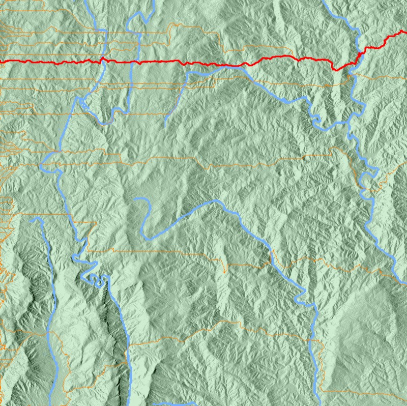
A Python implementation of the A* pathing algorithm to find the best path from the right side to the left side of the mountain range based on a heightmap. "Best" means many things in this context. The algorithm takes into account raw distance, elevation change/steepness, and tries to avoid crossing large rivers if possible.
The map is of the Linville Gorge area in the NC mountains.
- Height data from terrain.party
- Water data from USGS Streamer