Python 2.7 scripts and functions to detect Atmospheric Rivers in reanalysis and climate model data, implemented for use on the Finisterrae 3 High Performance Cluster of the Galician Center for Supercomputing (CESGA).
This software package was developed from the Matlab scripts used in https://doi.org/10.1007/s00382-016-3095-6 and, after being brought to Python, was applied in https://doi.org/10.1029/2019JD030936. Atmospheric rivers are detected at each grid-box of a spatial domain the user can define. A detailed algorithm description can be found in my PhD thesis available from: https://www.researchgate.net/publication/320015096_Oceanic_and_atmospheric_precursors_of_atmospheric_river_activity_along_the_west_coasts_of_Europe_and_western_North_America
Description of the individual scripts
#Python scripts
1 get_percentiles_cesm1_2.py calculates IVT percentile thresholds used in ar_tracker_cesm1_2.py to detect and track ARs.
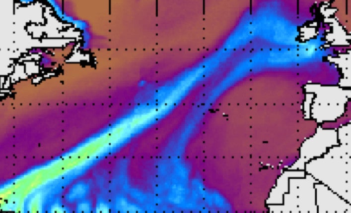
2 ar_tracker_cesm1_2.py principal script to detect and track AR for each timestep and grid-box in the input gridded GCM or reanalysis data
3 shiftlons.py shifts longitudes of the gridded IVT data array to -180 to 180 degrees format
4 haversine.py calculates Haversine Distance between the centres of two grid-boxes
5 get_wind_sector.py returns the cardinal direction the IVT comes from
6 get_gridpoint.py once the AR tracks are found and stored by ar_tracker_cesm1_2.py, this scripts gets the AR time series at a specific grid-box defined by the user.
7 get_mask.py retrieves the binary AR coverage mask for the MERRA 2 dataset used in the TIER 1 method comparision paper (Rutz et al. 2019)
8 get_mask_cesm2_1_paleo.py as 7, but for the CESM1 datasets generated in PaleoARTMIP
#Shell scripts
1 runme_cesm1.sh This is the principal script to launch my AR detection and tracking algorithm to queue on CESGA's FINISTERRAE 3 HPC for use in ARTMIP (the script is currently set up for PaleoARTMIP).
2 command_cola_cesm1_2.sh is sent to queue by runme_cesm1.sh in order to launch the Python scripts mentioned below on the working node.
3 set_attributes_ccsm4.sh sets file attributes as requested by TIER 2 paper on AR scenarios
4 rename_and_compress_cesm1_2.sh compresses and renames the netcdf output files as requested by TIER 2 paper on AR scenarios, is no longer in use
5 set_local_attributes_aux.sh sets attribute in the netCDF files, is no longer used
6 mask.sh sets attributes of the netCDF file containing the binary AR coverage mask used in the TIER1 intercomparison paper (Rutz et al. 2019), is no longer in use
This ongoing research work is supported by the Atmospheric River Tracking Method Intercomparison Project (ARTMIP), sponsored by NCAR, SCRIPPS and the U.S. Department of Energy, among others.