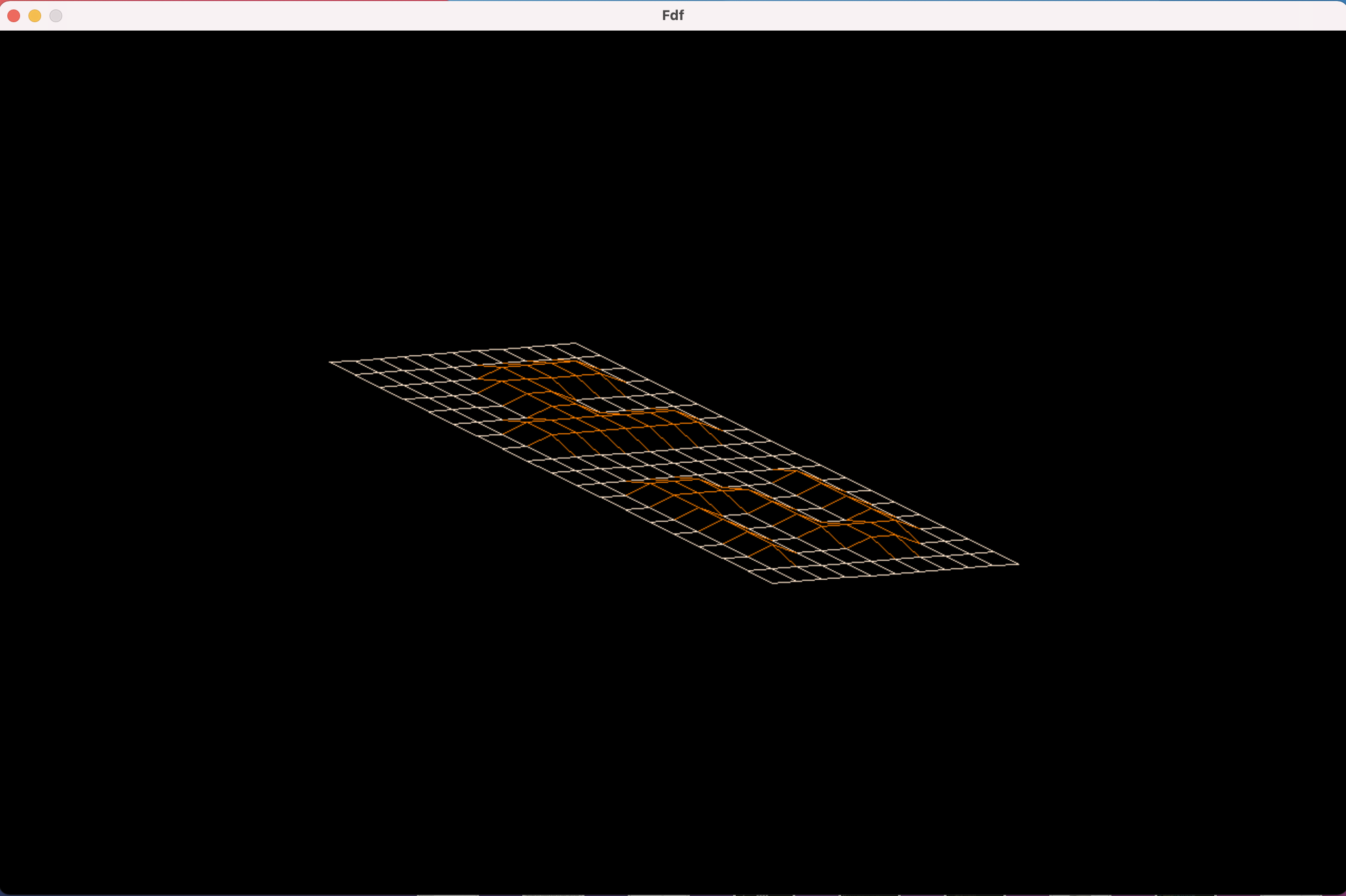
This project is about creating a simplified 3D graphic “wireframe” (“fils de fer” in french,
hence the name of the project) representation of a relief landscape linking various points
(x, y, z) via segments. The coordinates of this landscape are stored in a file passed as
a parameter to the program.

The project is written from scratch in C and the only allowed library is minilibx graphic library.

To compile this program run makefile from the root of repository: make
To run the program execute either make map0 or ./fdf maps/42.fdf
NB: Various test maps are located in the maps folder. Libft library not included to this repository, but might be found on my GitHub
and plased into libft folder here in the root.
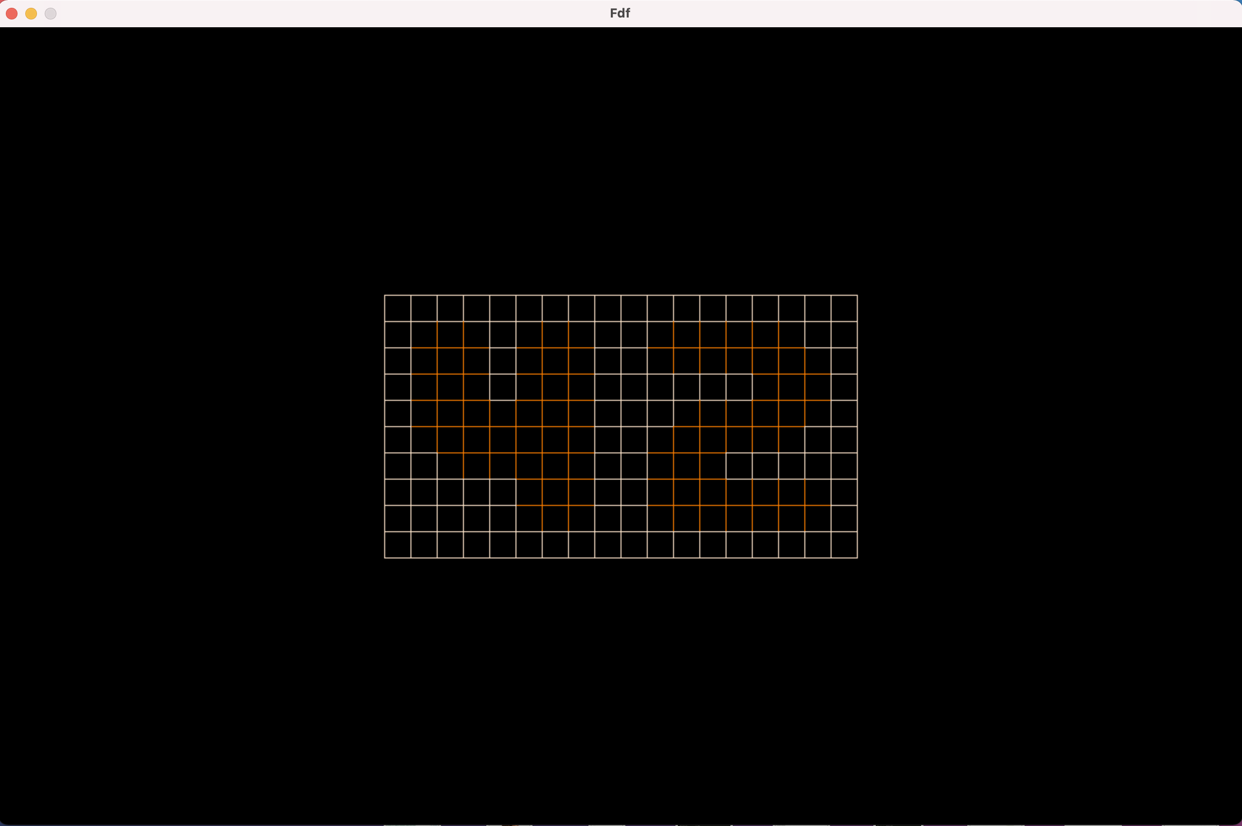
The minilibx window should pop up and you'll see a projection of a chosen map:
For terminating the progrem press ESC or use close button on a window.
To change altitude press > or < keys (US layout)

Press + or - to change size of projection (or use mouse scroll / touchpad gestures)

You can move a projection using arrow keys or drag it with a mouse.
Rotate with keys 3 and 4

To change the projection type press o (for original) or i (for isometric) key
Here's an example of a bigger map (mars.fdf)
