Skip to content

pgeedh/Autonomous-Navigation-Robot-ROS-simulation-for-Mapping-and-Localization

Folders and files

NameName
Last commit message
Last commit date

Latest commit


History

1 Commit


Repository files navigation

Coursera Robotics Specialization- Estimation and Learning

Instructor

Prof. Daniel Lee
Professor of Electrical and Systems Engineering

This repository contains the solutions from all the programming assignements and quiz in this Coursera Course.

About This Course

How can robots determine their state and properties of the surrounding environment from noisy sensor measurements in time? In this module you will learn how to get robots to incorporate uncertainty into estimating and learning from a dynamic and changing world. Specific topics that will be covered include probabilistic generative models, Bayesian filtering for localization and mapping.

Mathematical Prerequisites

Mathematical prerequisites: Students taking this course are expected to have some familiarity with linear algebra, single variable calculus, and differential equations.

Programming Prerequisite

Some experience programming with MATLAB or Octave is recommended (we will use MATLAB in this course.) MATLAB will require the use of a 64-bit computer. You need to have Matlab installed if you want to run the programs on your machine with the appropriate libraries installed. The data used specifically for this course are not included but any similar data should work fine.

Modules are divided into:

  • Robotics: Estimation and Learning
    • Introduction to MATLAB and tools to sample from Single or Multivariate Gaussians. Week 1 Assignment required to Estimate and Target the Color in Dataset
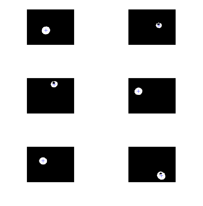
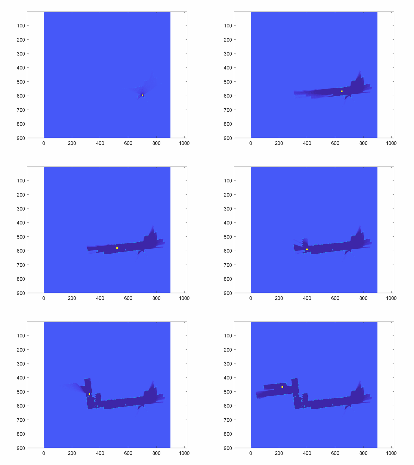
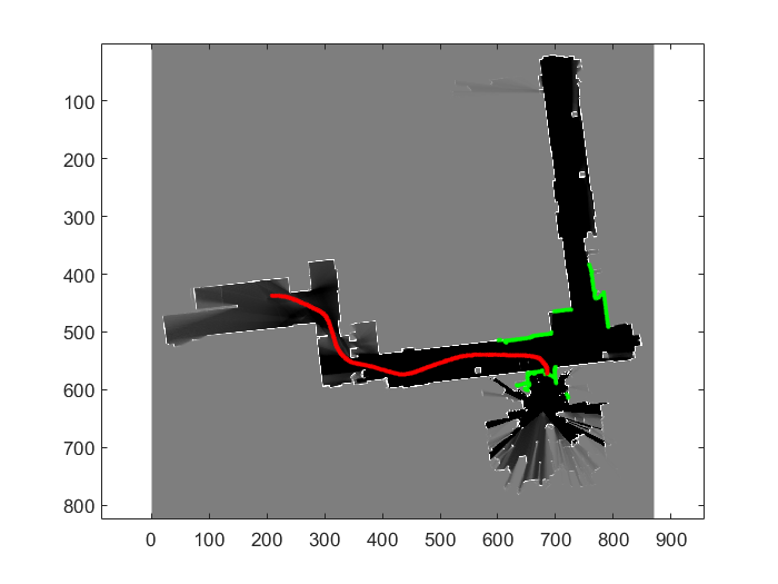
* Introduced to Kalman Filter and Maximum-A-Posterior Estimation. Week 2 Assignment required to track the ball in 2D space * Week 3 introduces us to Mapping and crucial aspects of Localization. In Week 3 Assignment, we build an Occupancy Grid Map, that reads the Lidar Data off a Bot and using log loss data, designates certaininty to a discretized map. Darker the map -> Higher the Certainity of Free space.

* The final week wraps up the course by discussing about Particle filtering, a modified version of Unscented Kalman Filter. The Capstone project requires usage of Particle Filter to estimate the best Pose of Robot in accordance to the correlation of Lidar and Groundtruth Map Data.

Authors

Pruthvi Omkar Geedh

This project is licensed under the MIT License - see the LICENSE.md file for details

About

No description, website, or topics provided.

Resources

License

Stars

Watchers

Forks

Releases

No releases published

Packages

No packages published