Collection of hiking maps, optimized for mobile use, based on OSM data.
npm install
gulp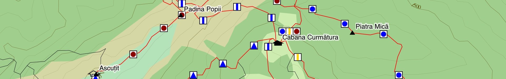
gulp develFor each region, we query Overpass, filter the results, and convert them to TopoJSON. Elevation contours are from SRTM. We then package all data for a region as JSON, the largest is almost 1MB, and they compress to ~30% of the original size with gzip. In the browser, we save the data in appcache, and render the map as SVG, using D3.js and lots of creativity :)
Code is licensed as MIT. Data is © OpenStreetMap contributors, except for contour lines, which come from NASA's SRTM dataset.