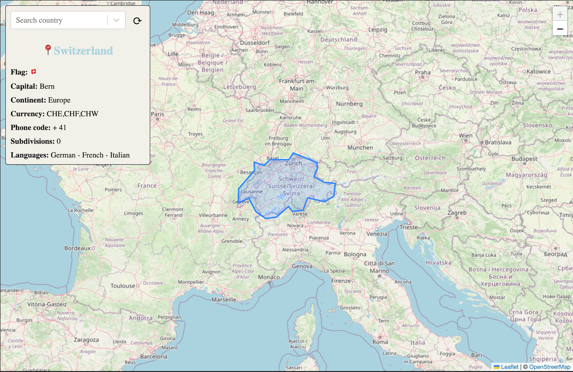
Interactive map using GraphQL data from https://github.com/trevorblades/countries
Checkout Demo 🗺
First, run the development server:
npm run devOpen http://localhost:3003 with your browser to see the result.
- Typescript for graphql queries
- Better cache mechanism
- Create PR to https://github.com/annexare/Countries adding divisions in CH, AR
- Add Sentry
- https://github.com/trevorblades/countries for country infomation and list of countries
- https://leafletjs.com for interactive map and data provided by OpenStreetMap
- https://github.com/johan/world.geo.json for country boundries highlight
- https://www.geonames.org to obtain country based on coordinates and get also ISO country code
- https://react-select.com autocomplete dropdown for country selection
To understand a bit better the interaction with the libraries and different APIs see diagram.
sequenceDiagram
  actor U as User
  participant A as App
  participant L as Leafletjs lib
  participant G as Geonames API
  participant B as Johan/world.geo.json
  participant Q as Trevorblades/countries API


  par
    A->>L: Build map
  and
    A->>Q: Get list of countries
  and
    A->>B: Load countries boundries JSON
  end
  L->>A:
  B->>A:
  Q->>A:
  A->>U: Display map
  A->>A: Build dropdown
  A->>U: Display dropdown
  U->>A: Click on the map
  A->>L: Get coordinates
  L->>A:
  A->>G: Get country code from coords
  G->>A:
  par
    A->>Q: Get country information
  and
    A->>G: Get country ISO code from code
  end
  Q->>A:
  G->>A:
  A->>U: Display information card
  A->>A: Find boundries from boundries using ISO country code
  A->>U: Display boundries

